
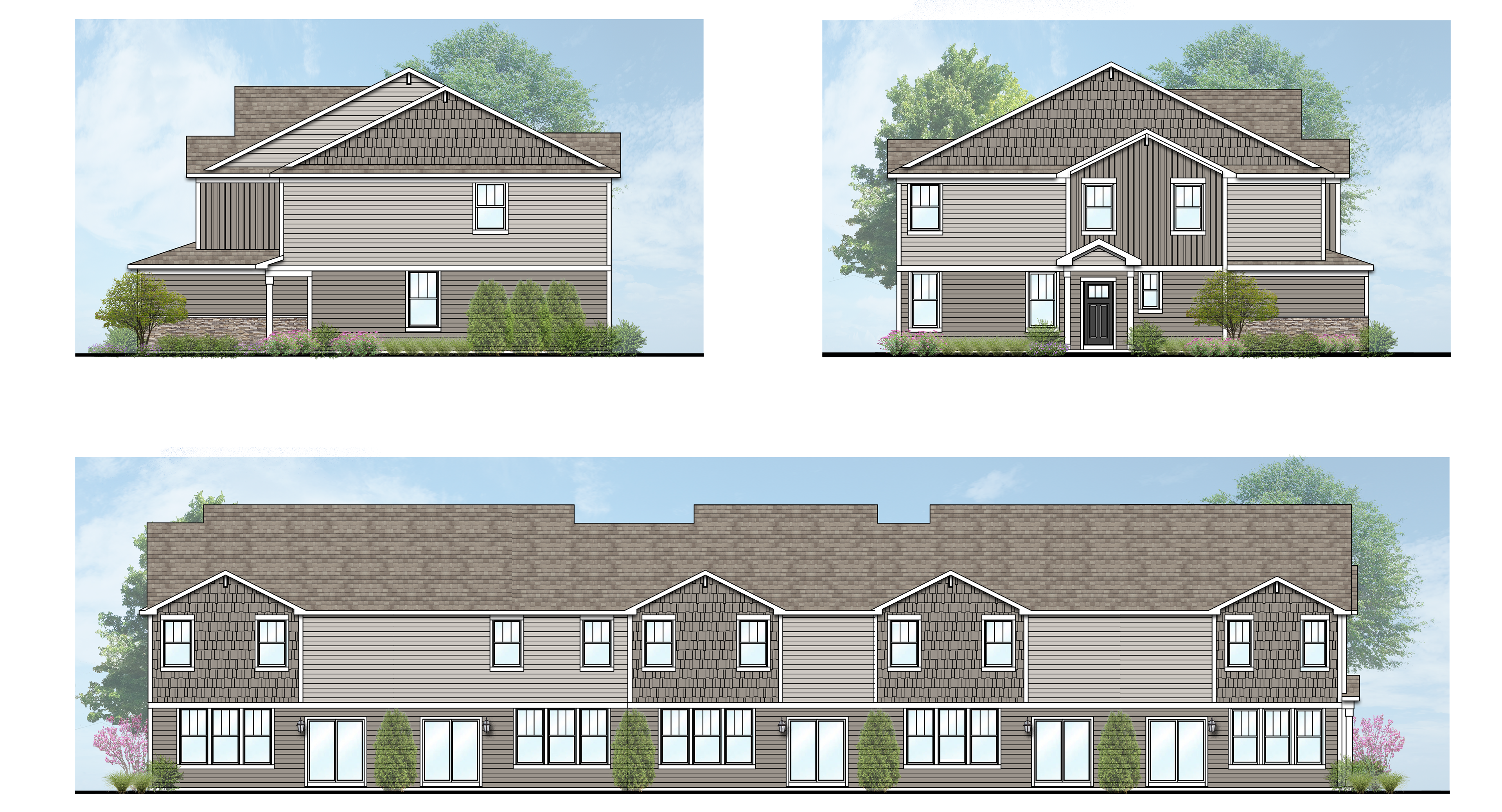
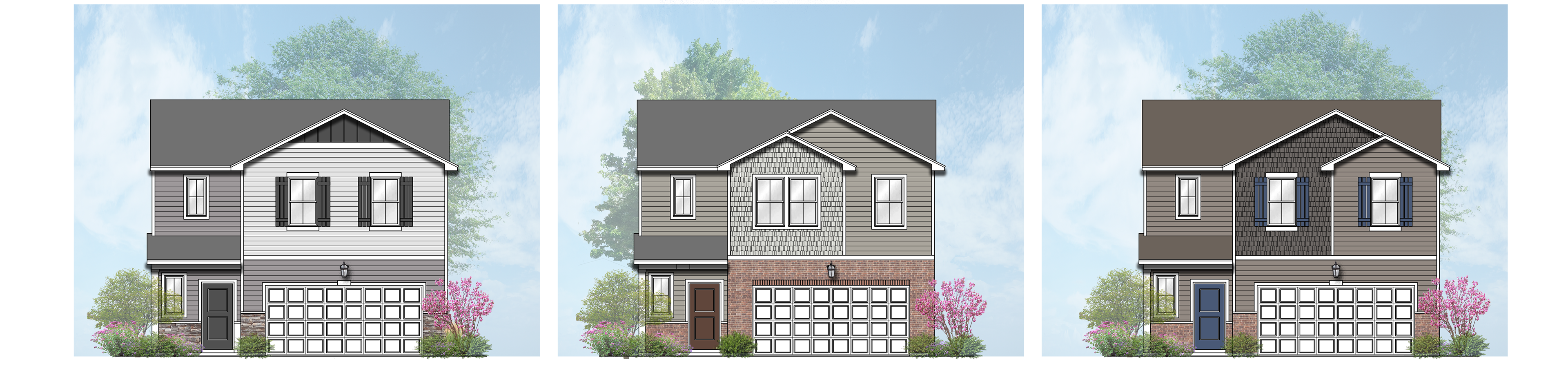
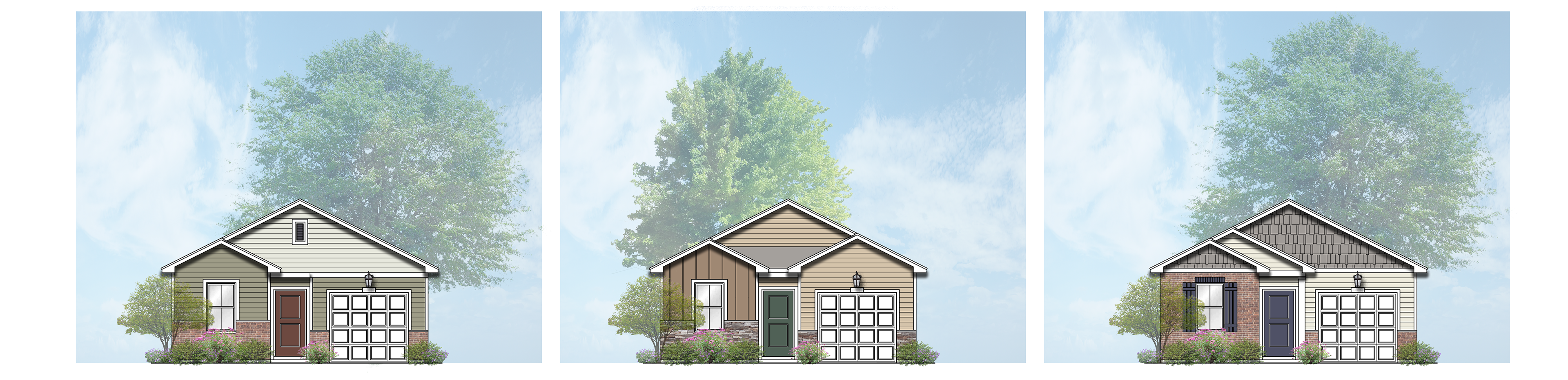
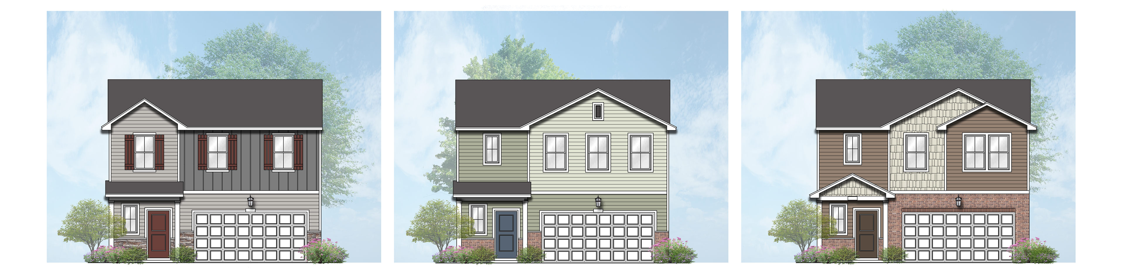
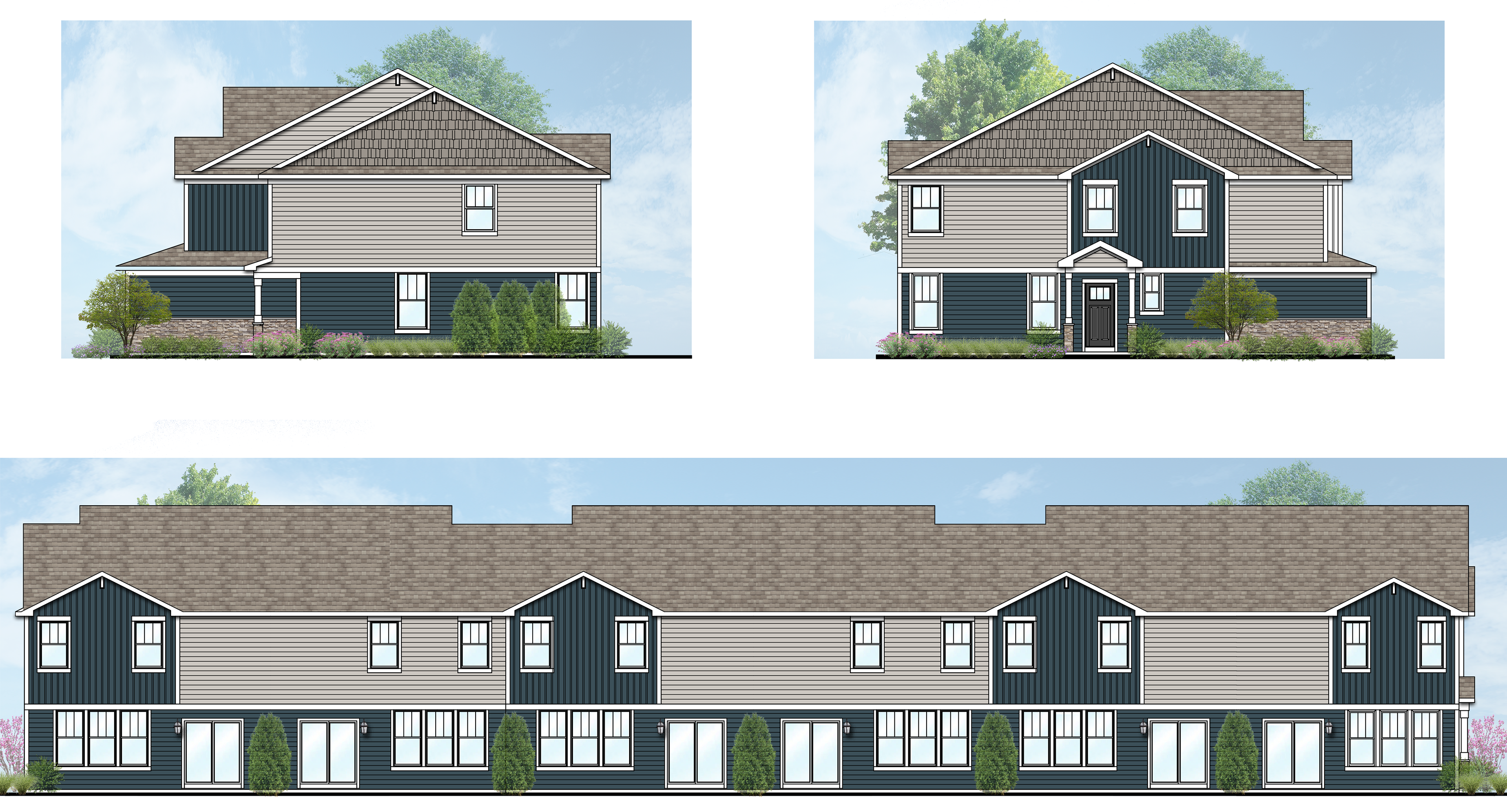
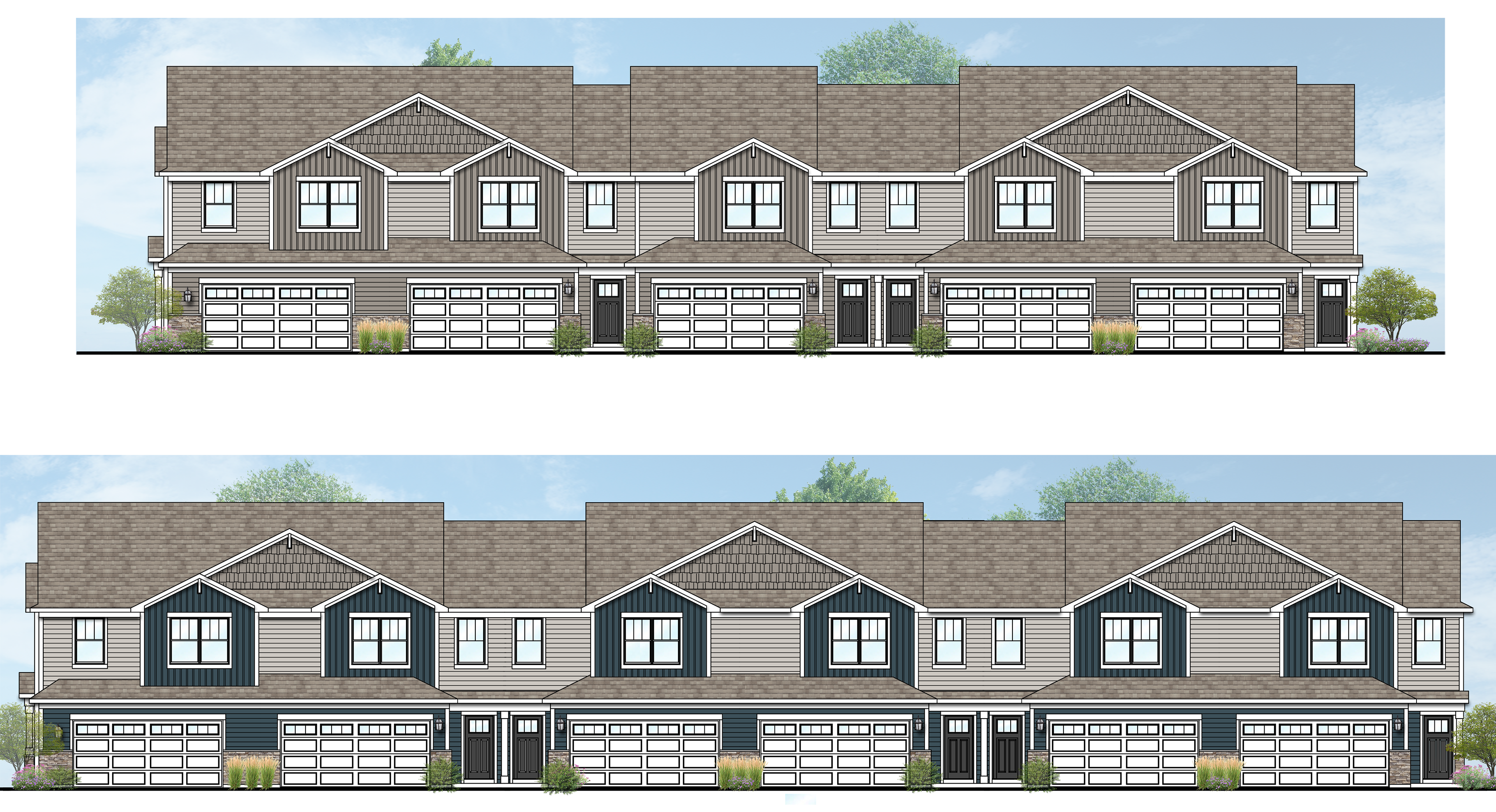
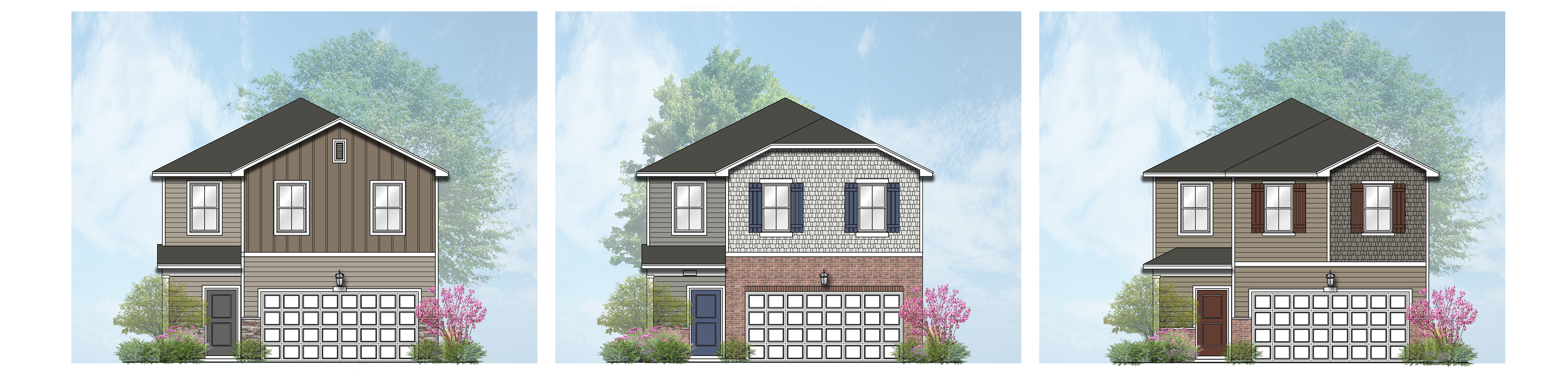
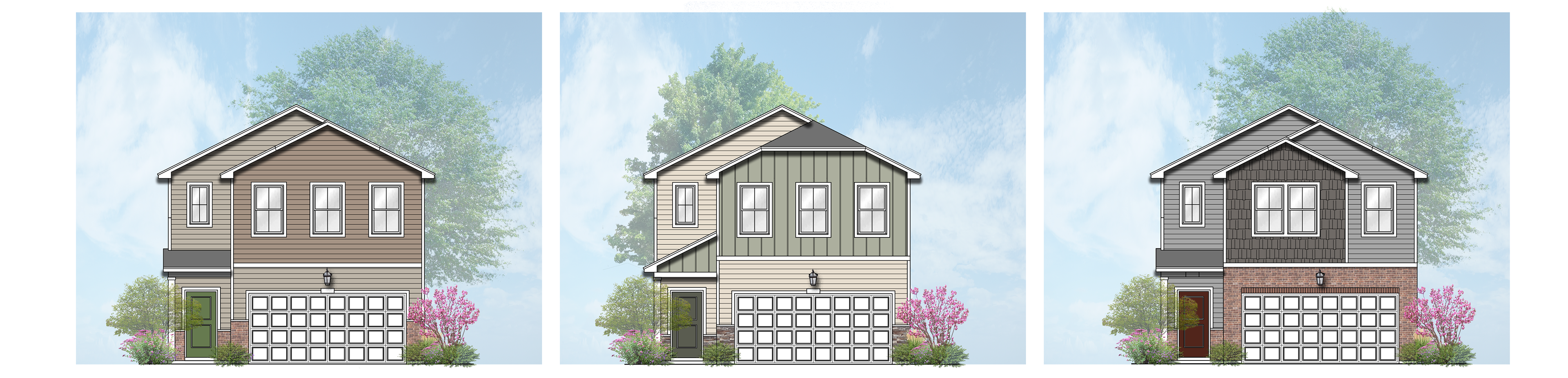
Photoshop Architectural Elevations
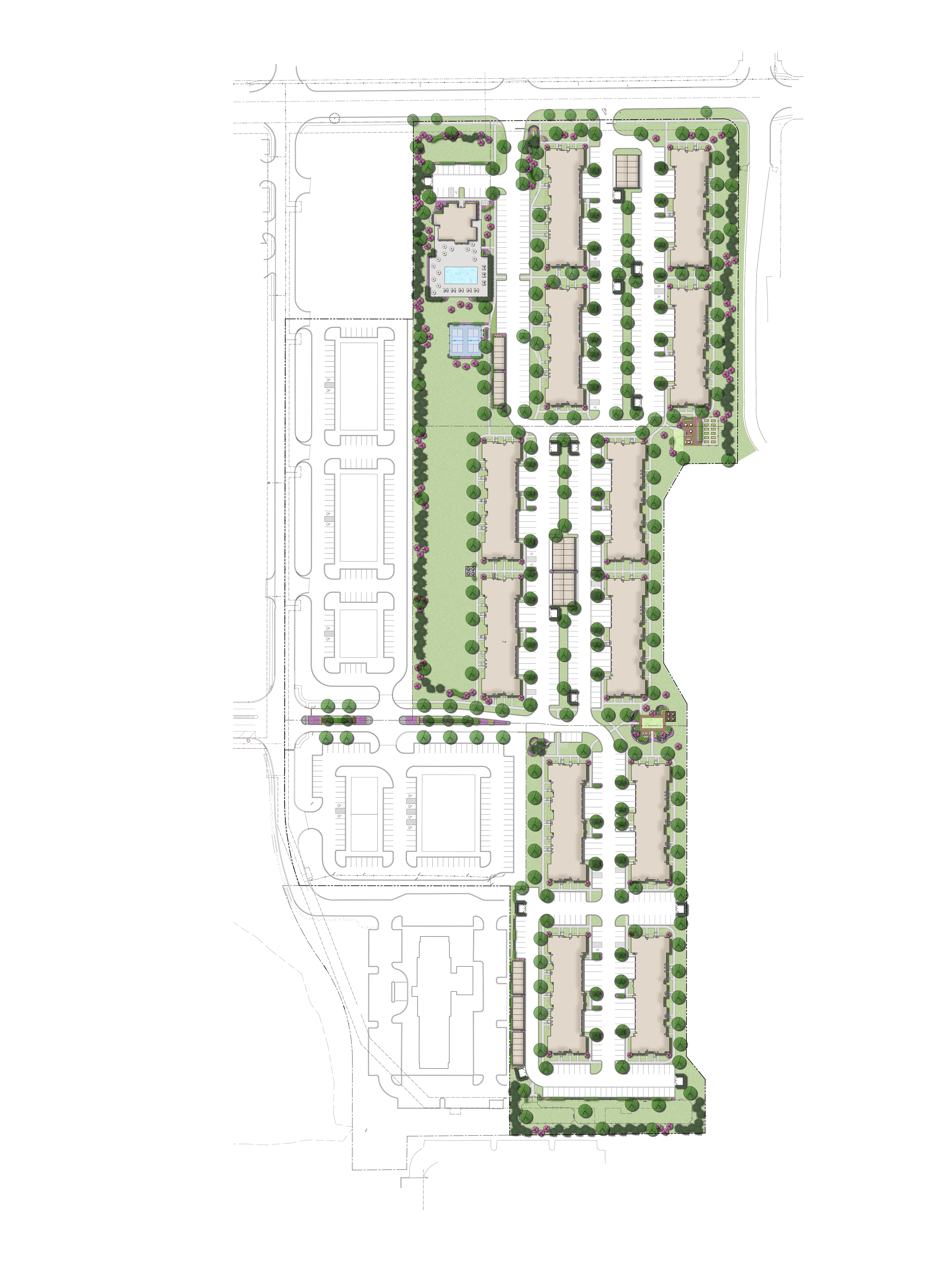
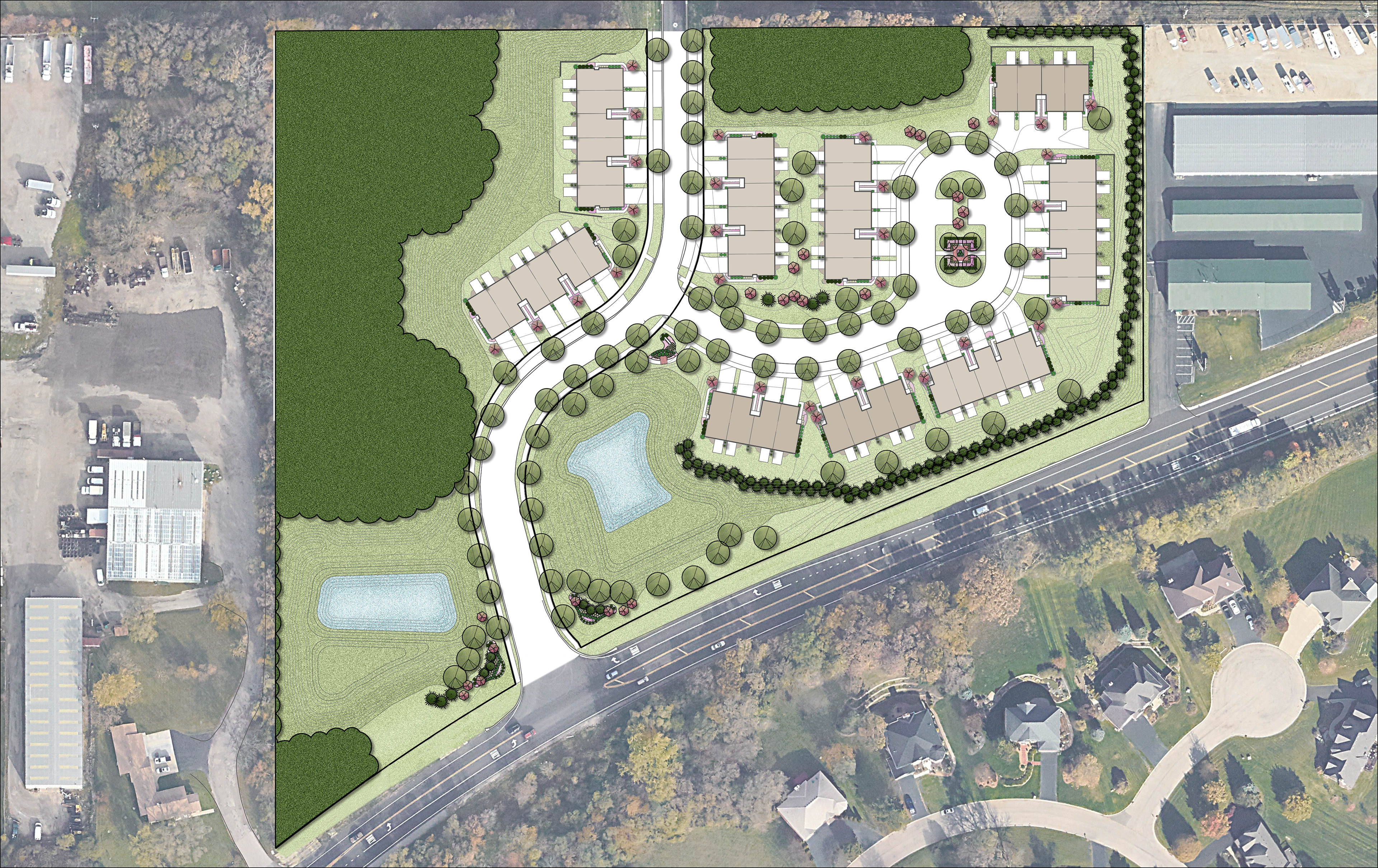
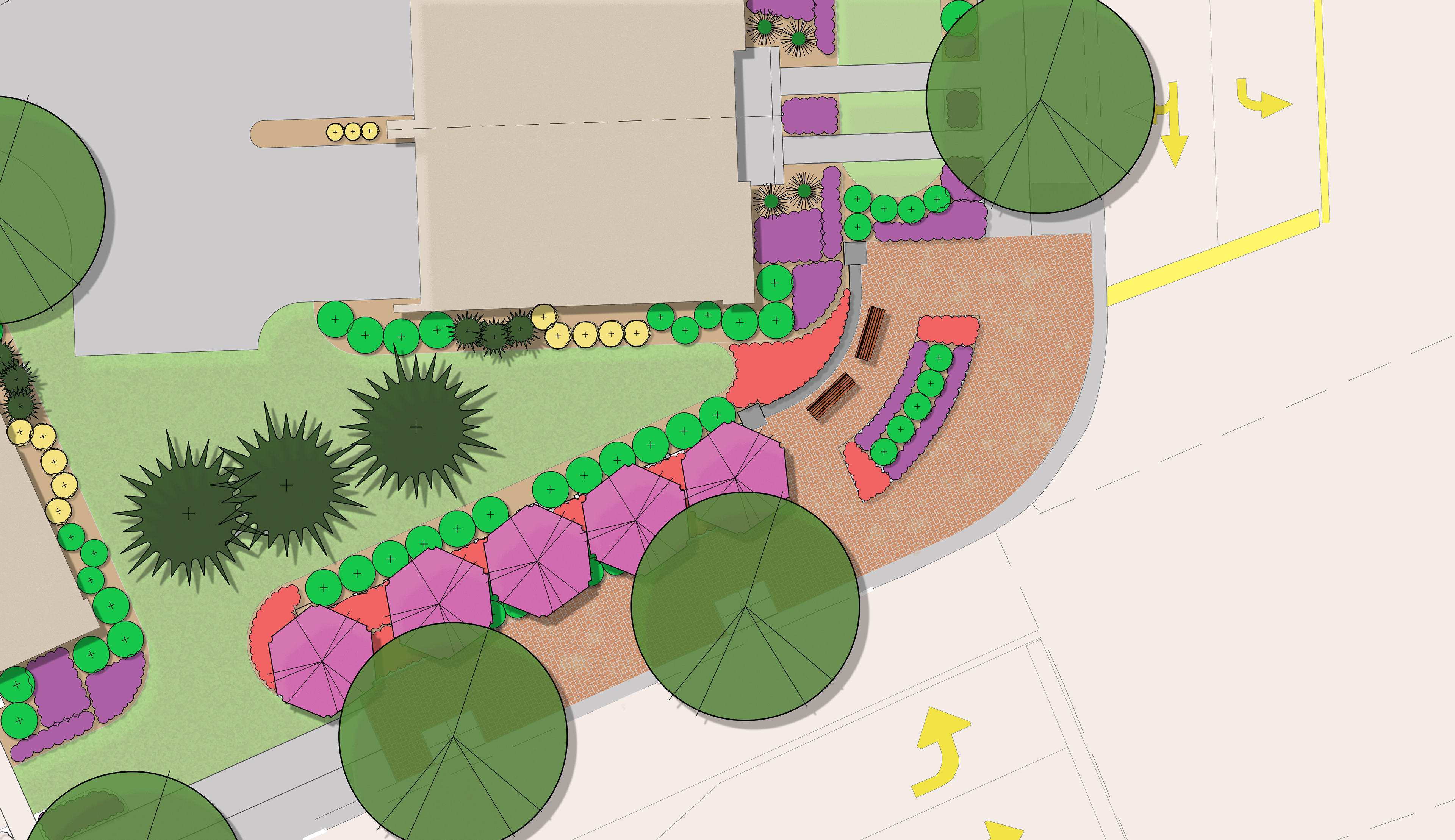
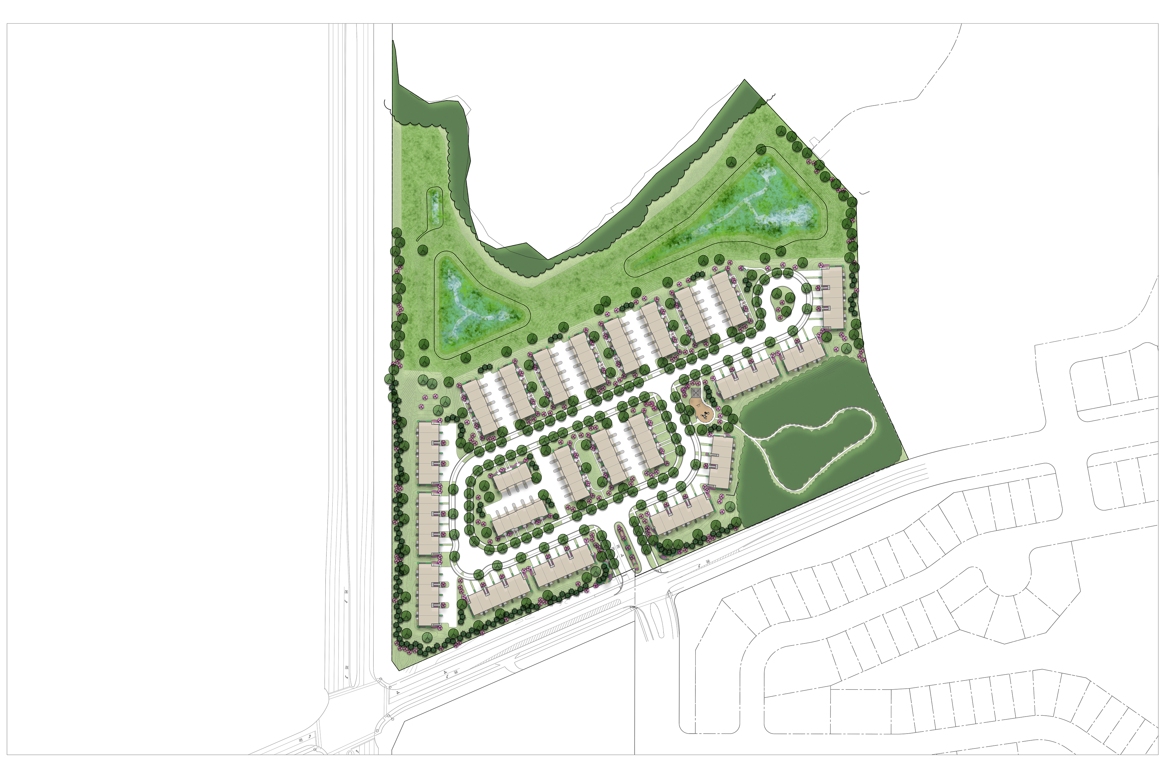
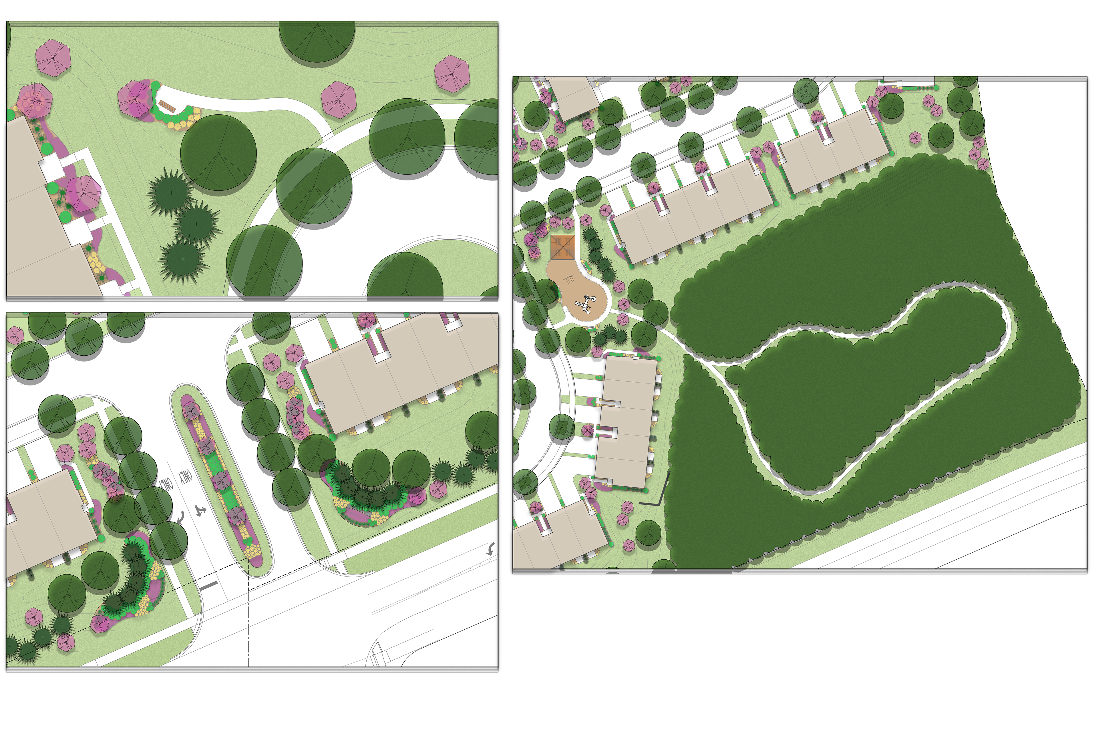
Photoshop Rendering for Site Planning
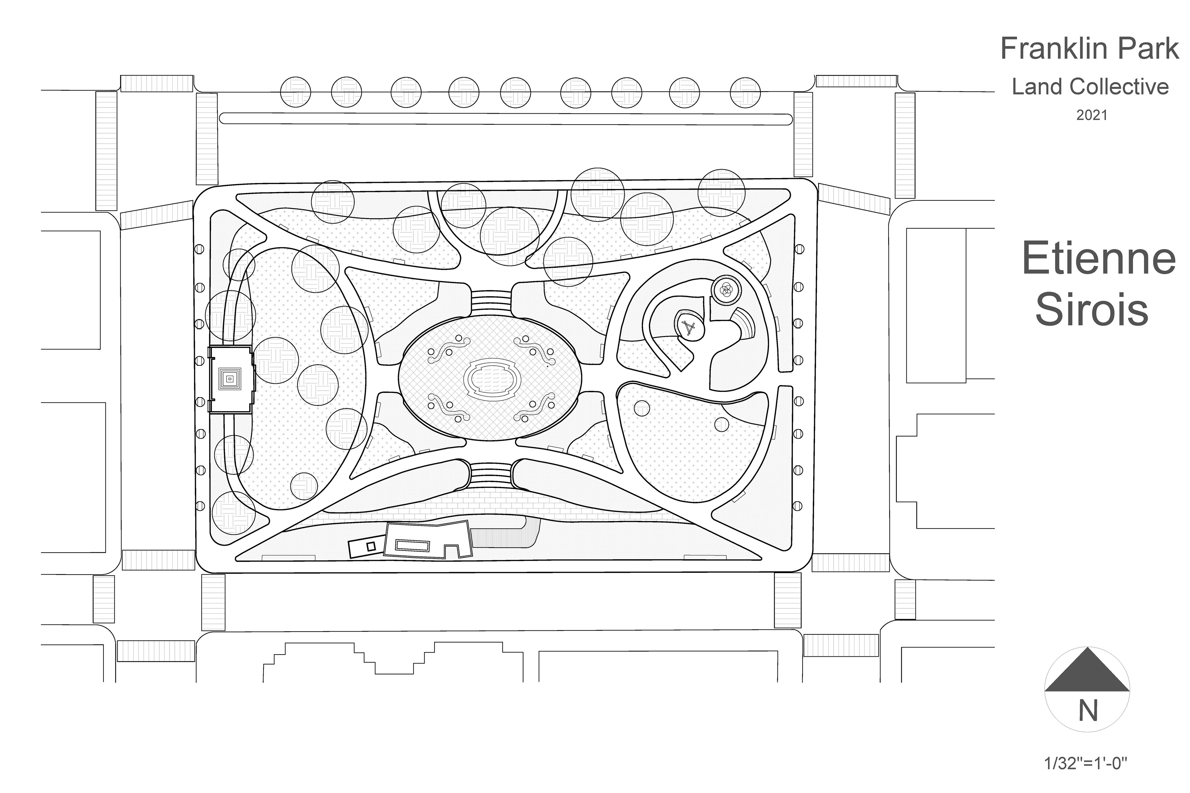
Rhinocerous3D to Adobe Illustrator Workflow
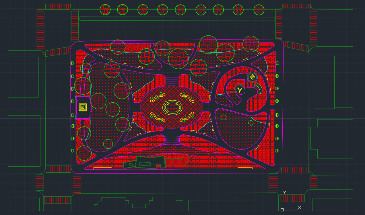
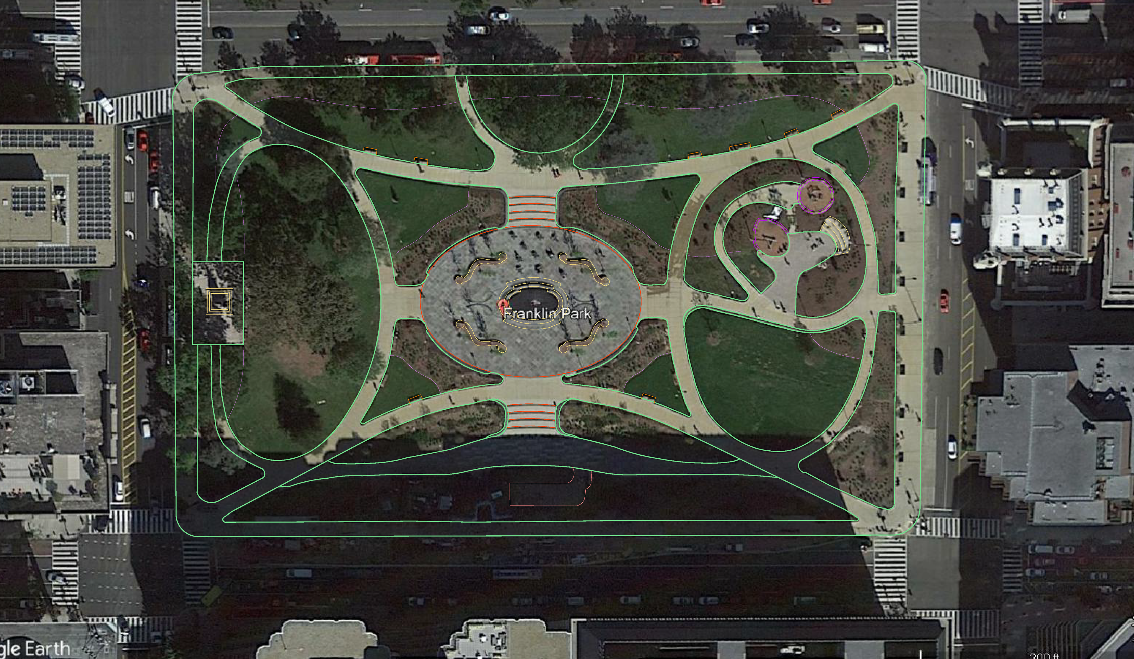
AutoCAD Scaled Plan (ARCH D)
Kankakee River Futures (Photoshop)
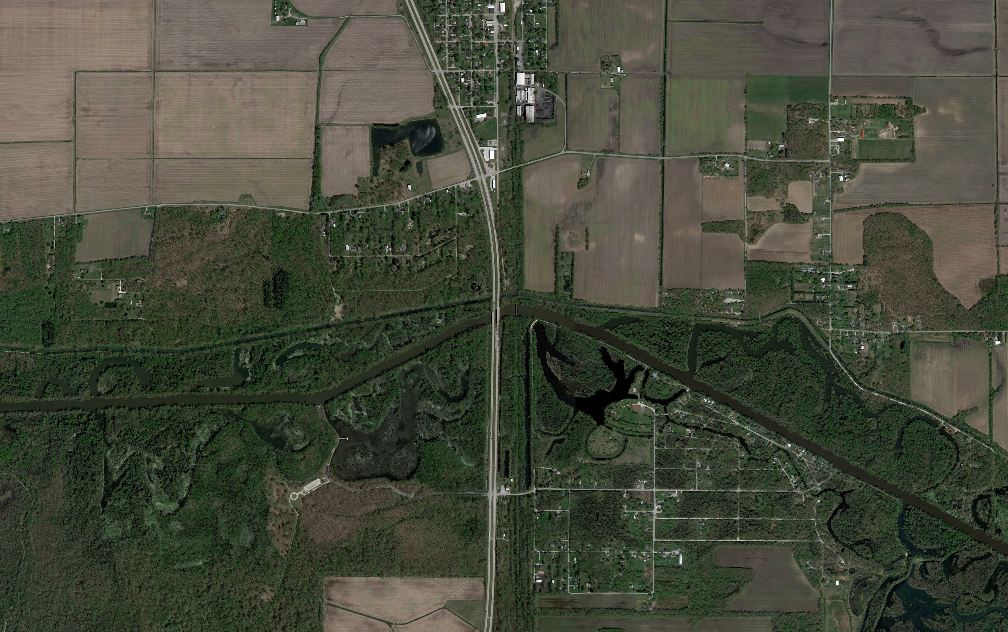
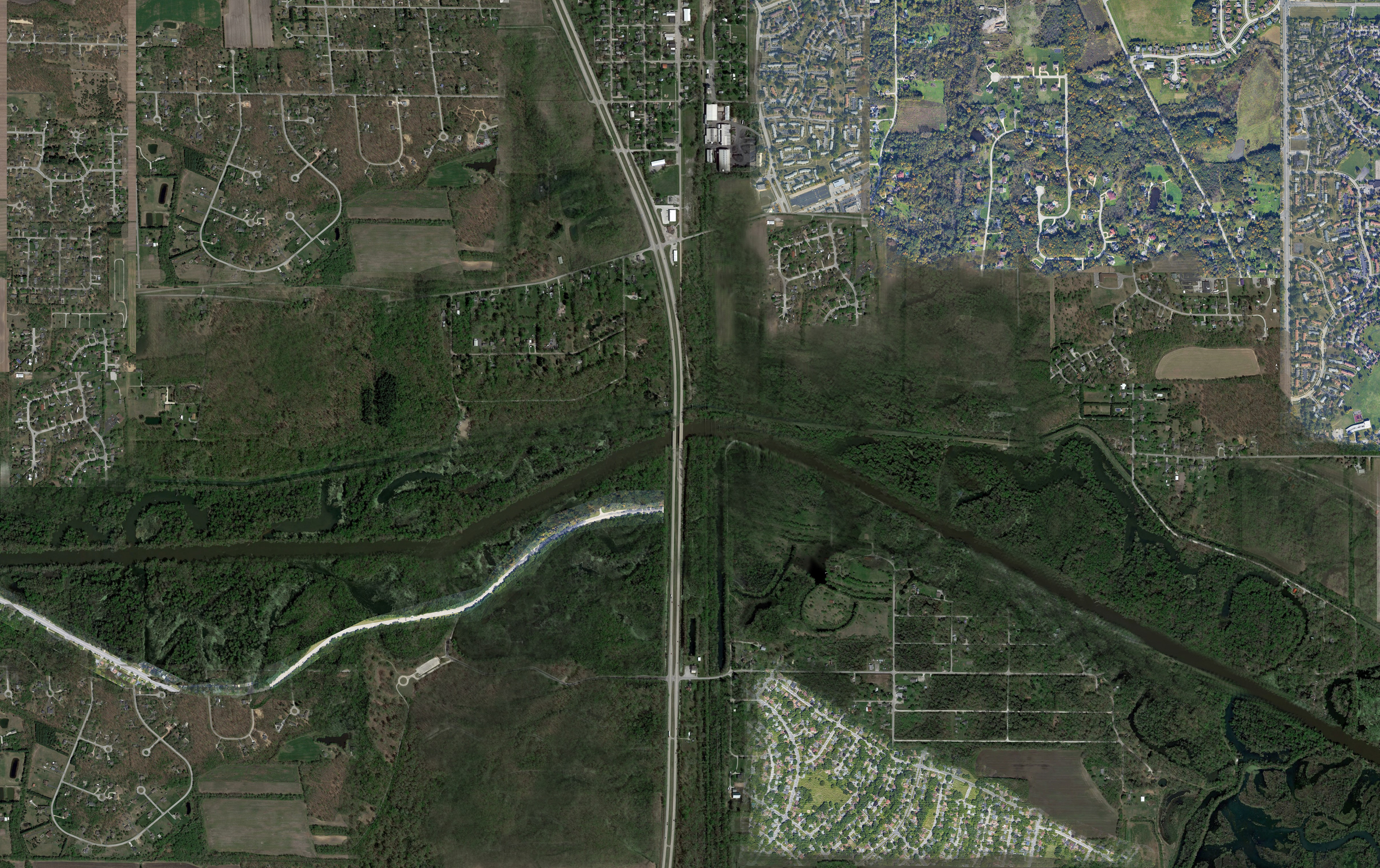
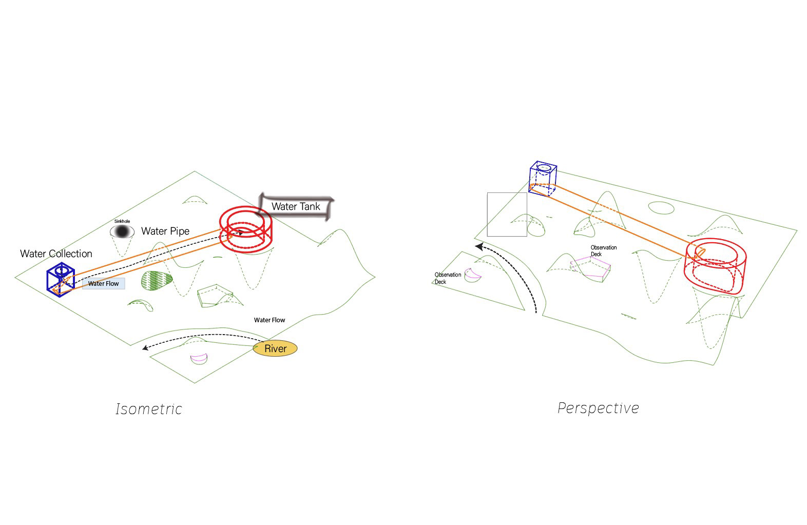
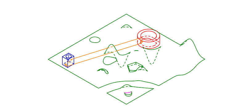
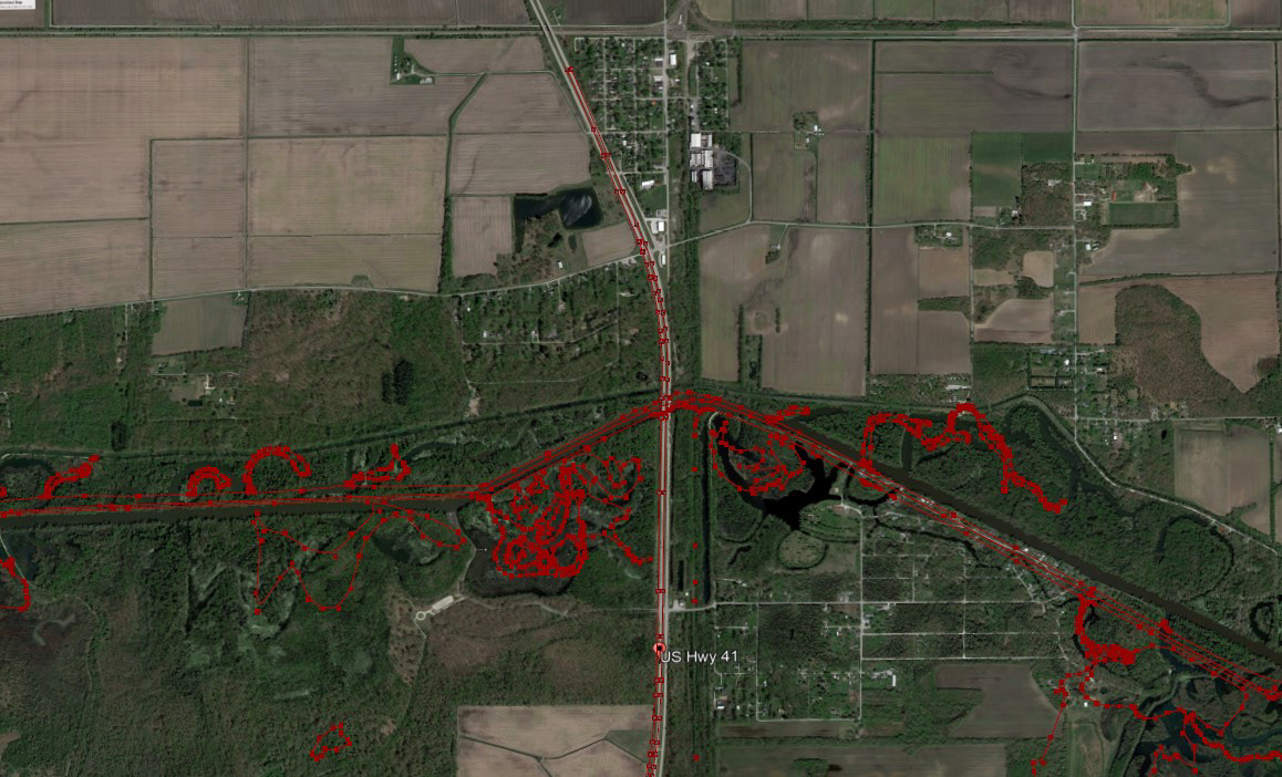
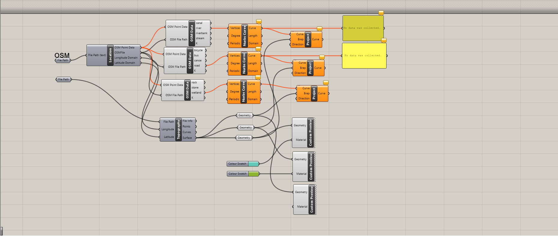
Kankakee River Analysis (Topographic mapping using Rhinocerous3D, Grasshopper, OpenStreetMap, and Adobe Indesign)
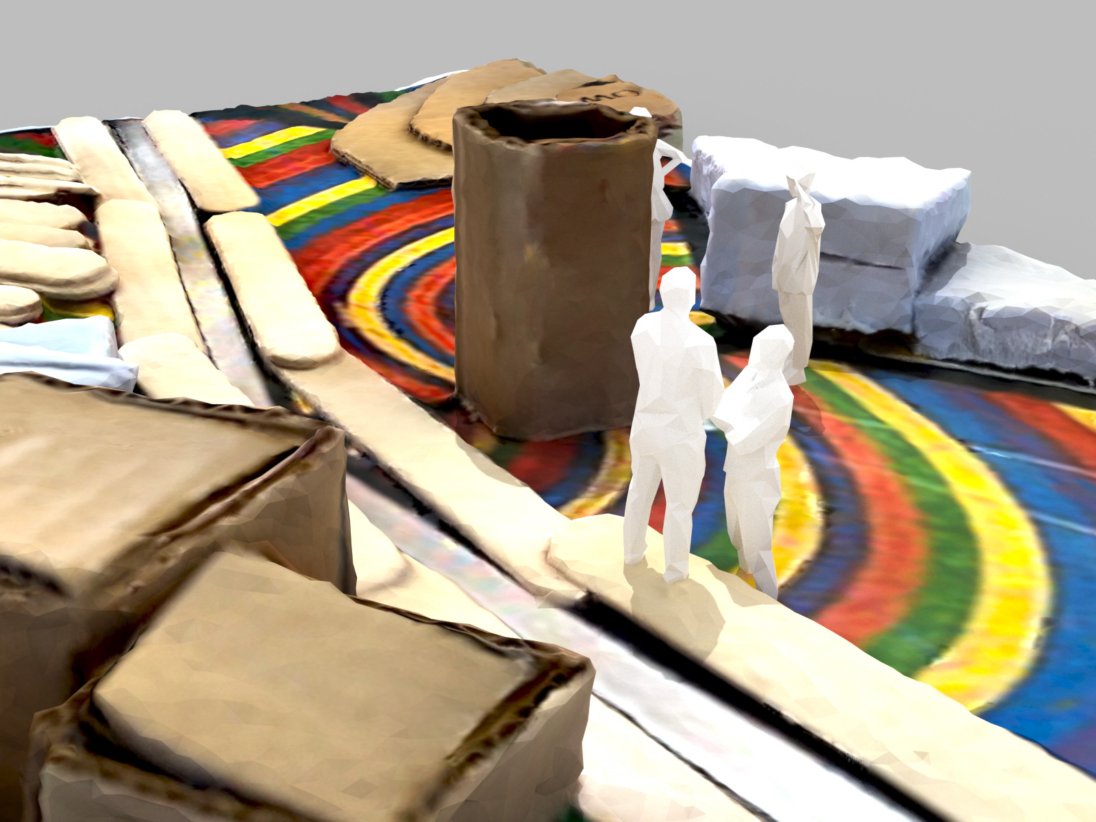
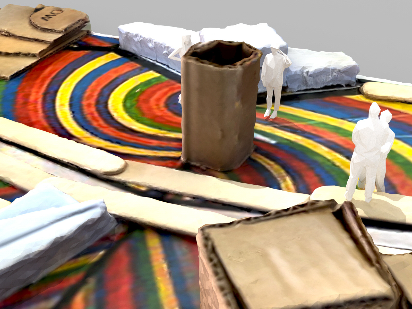
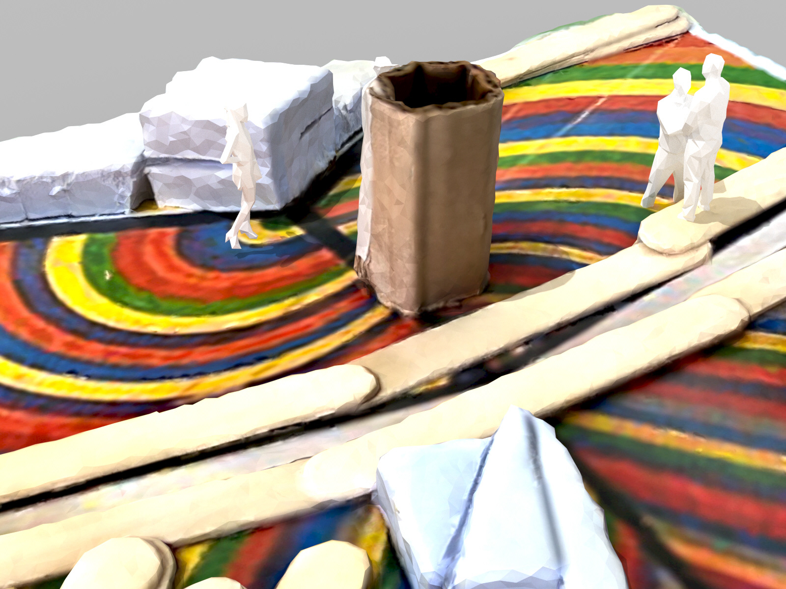
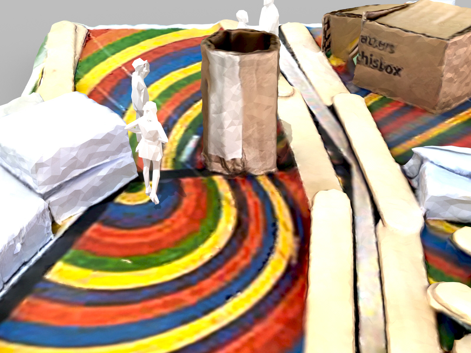
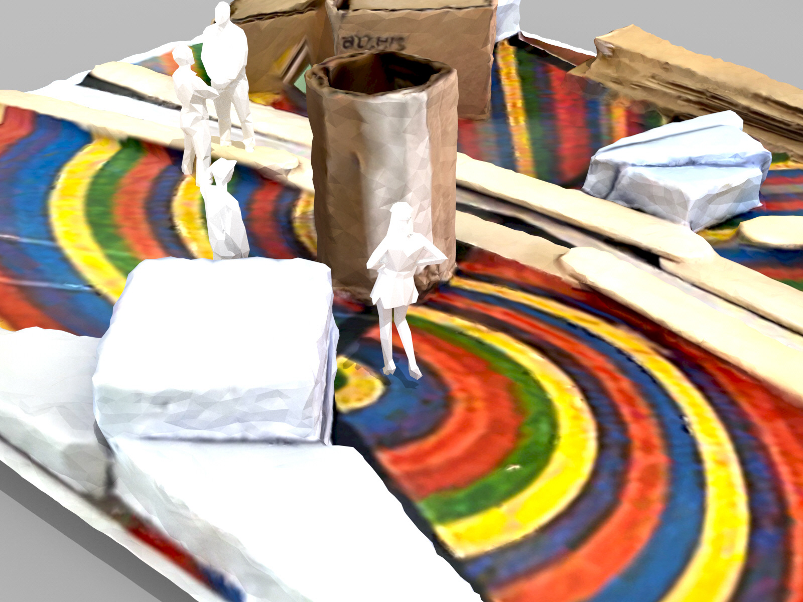
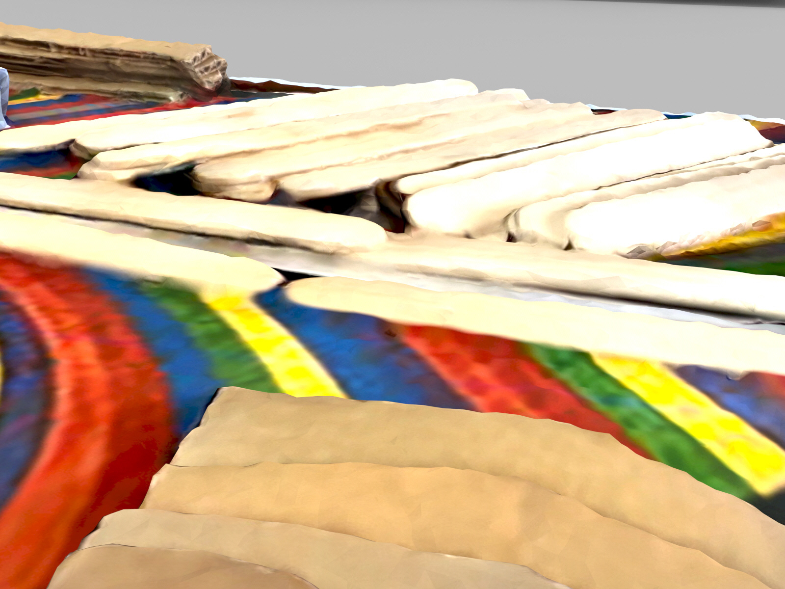
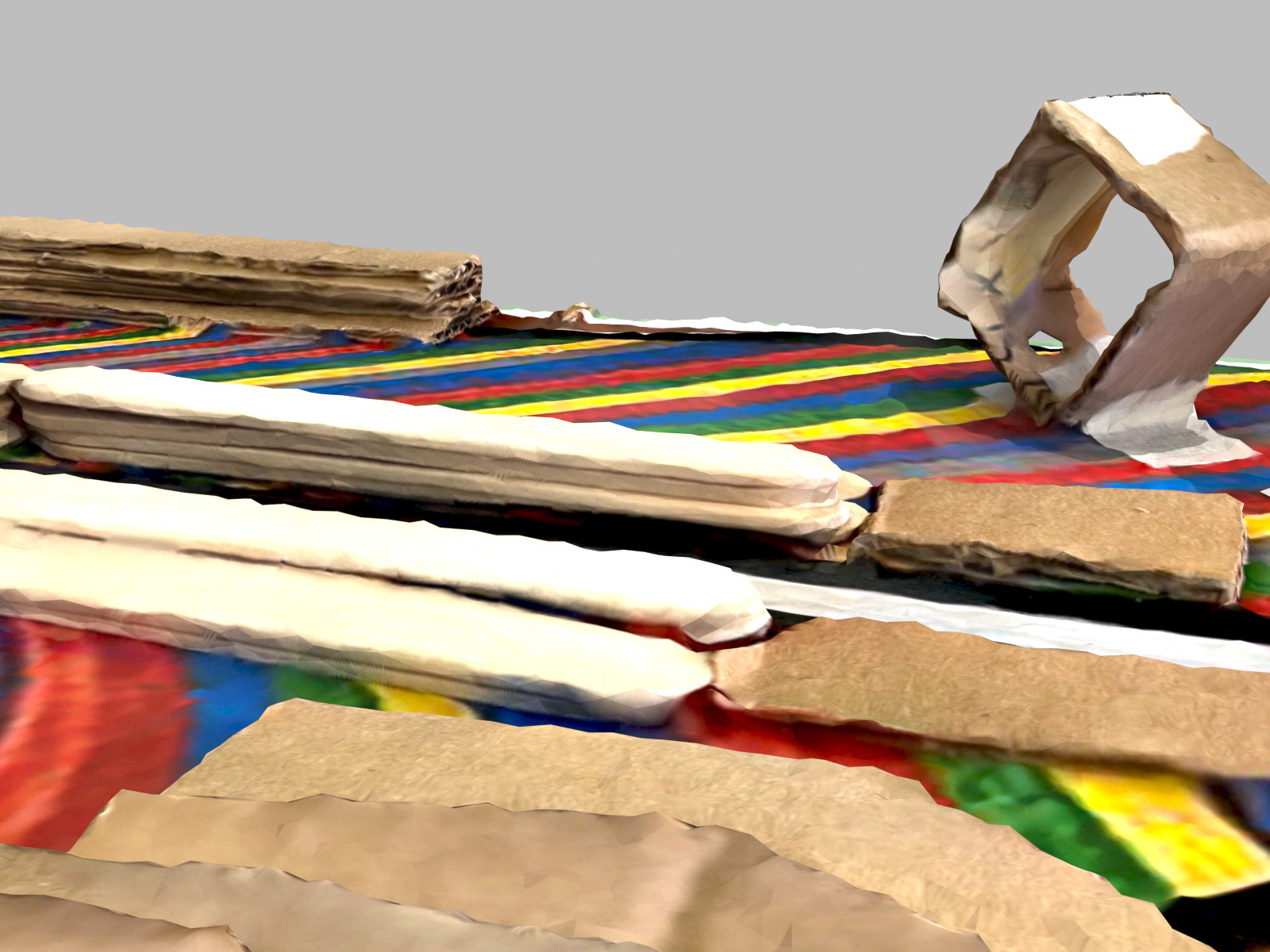
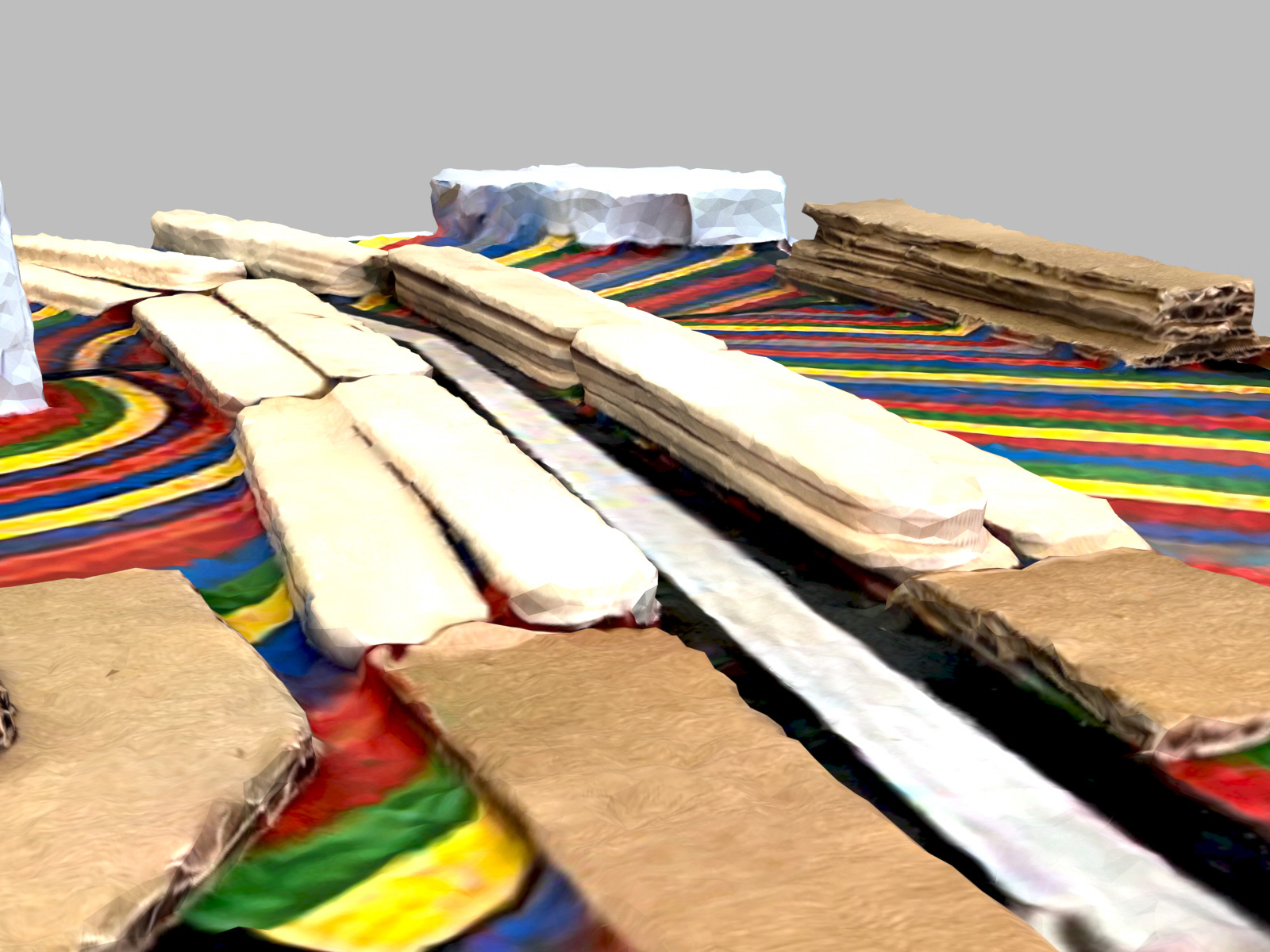
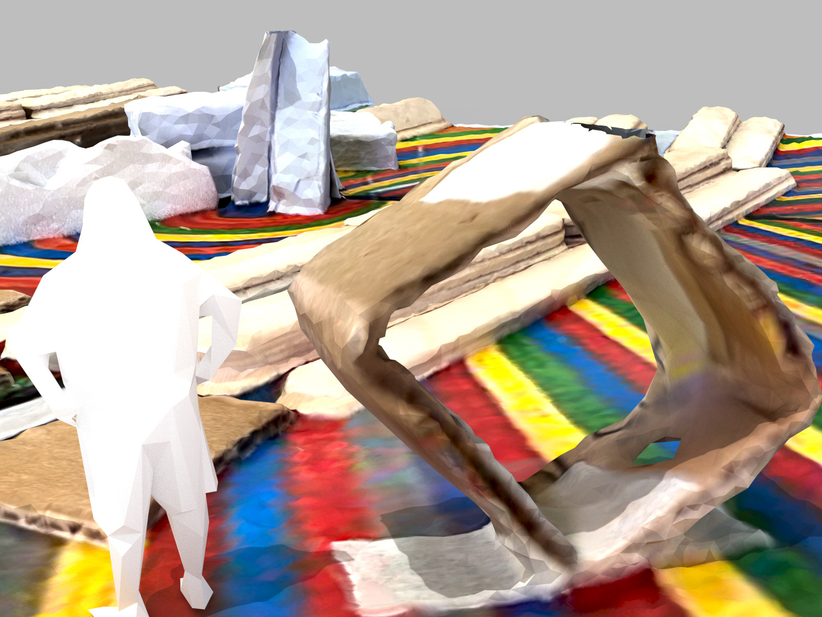
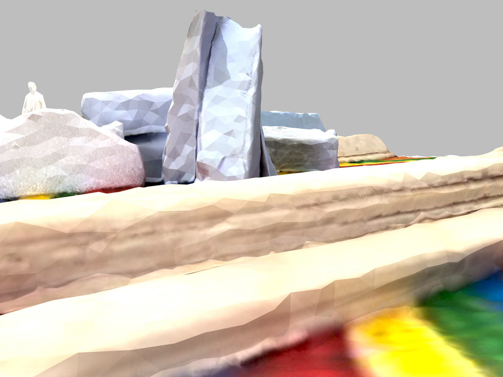
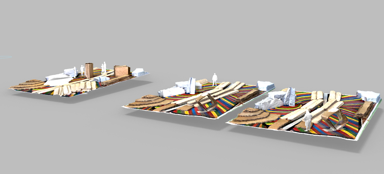
Place and Space Design (Polycam, Rhinocerous3D, Photoshop)

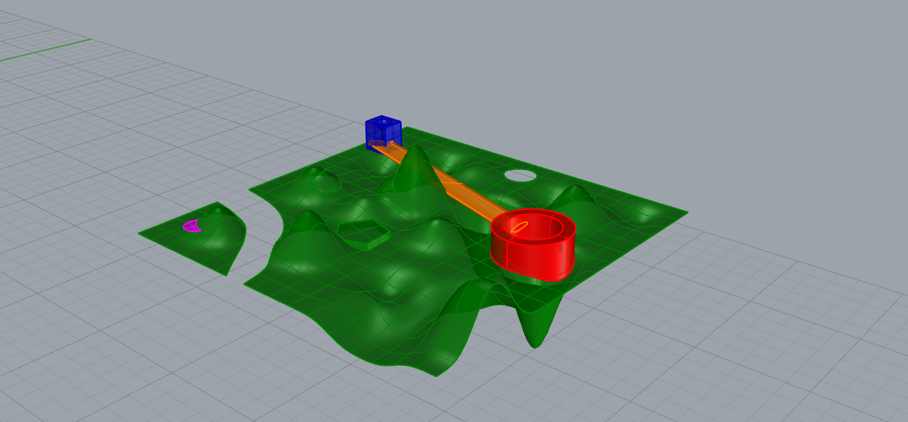
Landscape Modeling (Rhinocerous3D)

Landscape Animation (Twinmotion)
Change Over Time (Twinmotion)